Commission for Observation, Infrastructure and Information Systems (INFCOM)

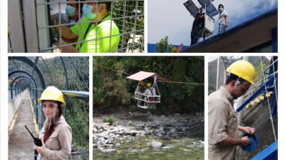
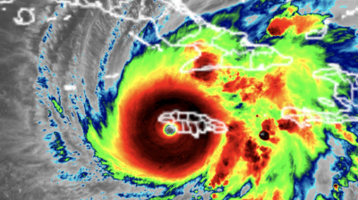
A flurry of activity around the world underpins something that we all take for granted: the predictability of weather. In thousands of locations - on every continent, including Antarctica, and on many small-islands dotted across the oceans - human observers, weather balloons, automatic weather stations, buoys, satellites, aircraft, ships and many more instruments are simultaneously recording and transmitting weather, climate and other environment related data. These millions of standardized observational data end up in the repositories of WMO World Meteorological Centres where they feed Numerical Weather Prediction models to produce data and forecasts that are shared with all WMO Members in a “Cascading Forecasting Process” (global to regional to national).
This is the backbone of the weather forecasts and alerts that we receive on phones, the basis of everyday decisions as well as decision-making on investments, flight and navigation paths, what to plant, when to harvest, how to manage water resource and the energy grid, and much, much more. This is the work that is globally coordinated by the WMO Commission for Observation, Infrastructure and Information Systems (Infrastructure Commission or INFCOM).
What is the mandate of the Infrastructure Commission?
INFCOM coordinates the development and implementation of global systems for acquiring, processing, transmitting and disseminating Earth system observations across weather, climate, water and related environmental domains. It develops all the related standards for the measurement and sharing of this Earth System data. It further coordinates the production and use of standardized analysis and model forecast fields and the development and implementation of sound data and information management practices for all WMO Programmes and their associated application and services areas.
The Infrastructure Commission develops and maintains WMO normative material related to integrated observing systems, data transmission and dissemination systems, data management systems, and data processing and forecast systems by
- Coordinating the development of new systems and infrastructure-related regulatory material in all application areas of its scope
- Promoting and pursuing the integration of existing regulatory material
- Keeping regulatory material up-to-date through regular amendments
- Ensuring the consistency of new and amended regulatory material across the application areas
- Considering relevant scientific and technological developments to ensure the currency of the regulatory material
Who are its members?
The Commission is composed of technical experts designated by WMO Members.
How does it operate?
INFCOM meets every two years. The members of the Commission elect its president and vice-president. Over their four-year term of service, the principal role of the president and vice-president is to preside over the sessions of the Commission and to guide and coordinate its activities and those of its subsidiary bodies between sessions. The president and vice-president report to the World Meteorological Congress on those activities and present the views of the commission at sessions of the Executive Council. The WMO Convention, Regulations 143-148, outlines the role of the WMO Commissions.
President

Key INFCOM related Congress Resolutions
A sample of systems and programmes coordinated by INFCOM