Pacific Communities Rely on Sea-Level Observations to Face Rising Seas
- Author(s):
- Zulfikar Begg (COSPPac/SPC), Bipen Prakash (SPC), Laurence Lessire, Communications Adviser (COSPPac/SPC)
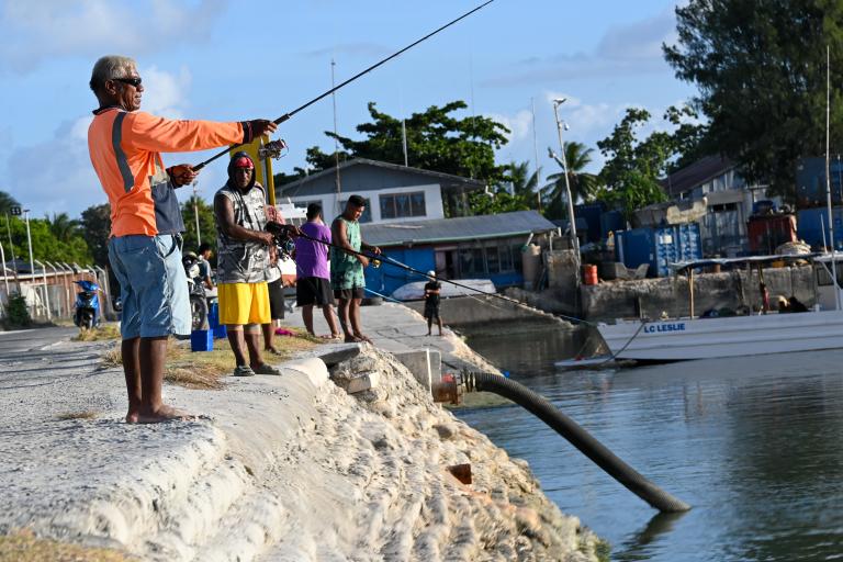
For Pacific Island Countries (PICs), sea level is not an abstract climate indicator. It shapes the daily lives of coastal communities, influencing activities such as fishing, boating and inter-island travel. It also affects coastal infrastructure and increasingly determines the frequency and severity of coastal flooding.
Across the region, communities are already experiencing the impacts of higher sea levels through king tide inundation, shoreline erosion, saltwater intrusion and escalating risks to infrastructure and livelihoods.
Understanding how and why sea level is changing is fundamental to climate adaptation and disaster risk reduction, but measuring these changes in island environments presents unique scientific challenges. Islands are not always stable platforms. Some experience tectonic uplift, others gradually subside, while major earthquakes can alter land elevations by several centimetres or more. Distinguishing ocean changes from land movement is therefore essential to accurately assess long-term sea-level trends and future coastal risk.
For more than three decades, the Pacific Sea Level and Geodetic Monitoring (PSLGM) Network has addressed this challenge. By combining sea-level observations with measurements of vertical land movement, the network provides essential data for climate assessments, national adaptation planning, operational services and global climate science.
An observing system for the Pacific
The origins of the PSLGM network can be traced to growing concerns during the late 1980s and early 1990s regarding the vulnerability of Pacific islands to climate change and sea-level rise. Recognizing the need for reliable observations, Australia partnered with Pacific Island governments to establish a regional network of tide gauges capable of detecting long-term changes in sea level and supporting local decision-making.
The network was later expanded to include measurements of vertical land movement, to better determine whether observed changes were caused by changes in sea level or by movement of the land itself.
It is now delivered under the current phase of the Climate and Oceans Support Program in the Pacific (COSPPac), continuing more than three decades of investment in sea-level monitoring, geodetic infrastructure and ocean information services for Pacific Island countries.
The network extends to 14 countries and is also supported by New Zealand. Each station includes a precision tide gauge that measures sea level relative to a local benchmark, and a nearby Global Navigation Satellite System (GNSS) Continuously Operating Reference Station (CORS) that monitors land movement with millimetre-level precision. Together, these observations provide a complete picture of sea-level change.
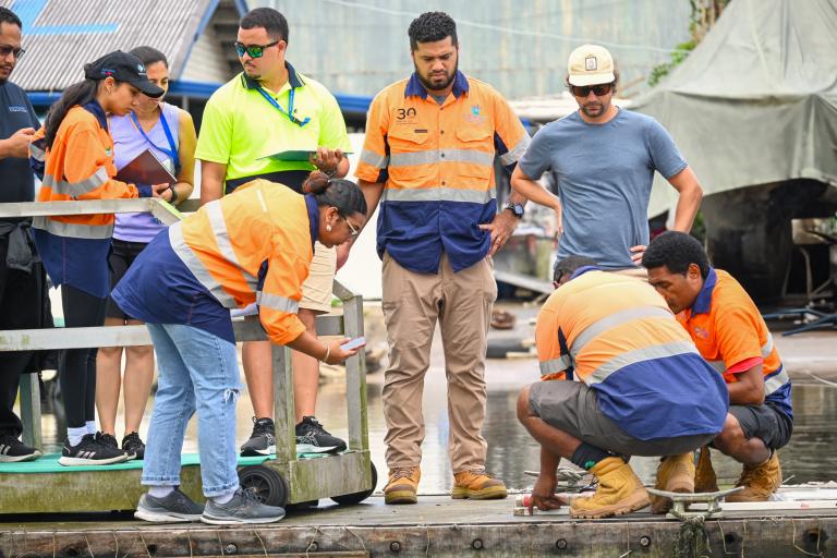
This integrated design has proven particularly valuable in the geologically active Pacific region, where tectonic movements can significantly affect local sea-level measurements. Without geodetic observations, apparent sea-level rise or fall recorded by a tide gauge might partly reflect movement of the land rather than changes in the ocean.
Over the past 30 years, the network has evolved from a climate monitoring initiative into an essential regional observing system. It now provides both long-term sea-level records and near real-time information to support operational ocean services and hazard monitoring.
The complexities of sea-level change
Global mean sea level has risen significantly over the past century because of the thermal expansion of warming ocean water and the addition of meltwater from glaciers and ice sheets. However, this change is not uniform, and local sea level can vary greatly due to differences in ocean temperatures, wind and ocean circulation patterns, and vertical land movement.
The Pacific Ocean displays some of the largest regional variations in sea-level trends observed globally. As a result, local observations are indispensable for understanding and responding to these differences.
The PSLGM network has generated some of the longest continuous and highest-quality sea-level records available in the tropical Pacific. These records reveal not only long-term sea-level rise, but also substantial variability associated with climate phenomena such as the El Niño-Southern Oscillation (ENSO).
During El Niño events, western Pacific sea levels often fall as warmer surface waters shift eastward. During La Niña conditions, sea levels across the western Pacific can rise substantially above average.
The long duration of network observations enables scientists to distinguish between short-term fluctuations and long-term trends driven by climate change. The data contribute to regional and global climate assessments, including those of the Intergovernmental Panel on Climate Change (IPCC), and inform adaptation planning in Pacific Island countries.
How sea-level information helps Pacific communities
Sea-level information supports a wide range of operational services across PICs. For example, data from the monitoring stations are used to generate tide predictions that inform maritime operations, fisheries, tourism and coastal transport. Harbour authorities also depend on tide forecasts for port management and navigation safety.
The observations play an increasingly important role in infrastructure planning. As governments invest in ports, roads, seawalls, airports and coastal facilities, accurate and locally relevant data on current and future sea-level conditions are required to ensure long-term resilience.
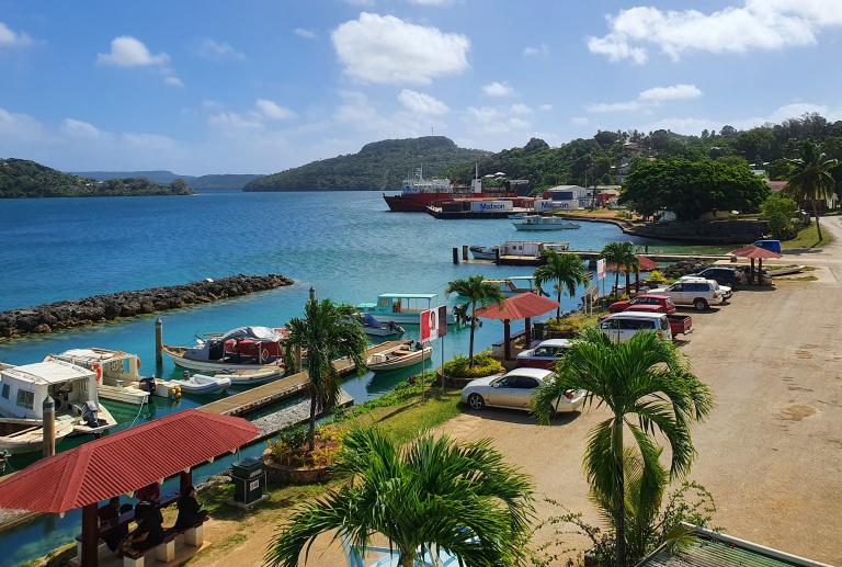
For example, in Tonga, the Meteorological Service issued multiple warnings based on real-time tide gauge data ahead of the Hunga Tonga–Hunga Ha’apai eruption and tsunami. Shared via radio and Facebook, these warnings advised communities to stay away from the coast and to be prepared, helping save lives.
“In terms of the recent eruption event here in Tonga [2022], the new tidal gauge very much provided timely information that was able to be distributed”, said Rosamond Bing, Former CEO, Ministry of Lands and Natural Resources, Tonga.
Following the December 2024 magnitude 7.3 earthquake in Vanuatu, a joint geodetic survey identified vertical land movement across affected areas, providing critical information on how the land had shifted. Authorities have used these findings to assess risk, prioritize affected areas and guide safer reconstruction of infrastructure such as roads, bridges and water systems.
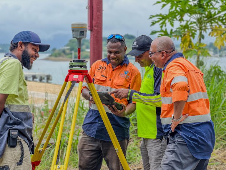
The work has also strengthened local capacity and leadership, with Vanuatu Lands Department surveyors actively contributing to national recovery discussions and applying these data in planning and decision-making.
Early warnings for coastal risks
Real-time sea-level measurements also provide valuable information for tsunami detection and help monitor storm surges, extreme tides, and coastal flooding events. As climate change increases the likelihood of coastal impacts from extreme weather events, these observations are becoming increasingly important for disaster preparedness and response.
The importance of multi-hazard early warning systems has gained international recognition through the United Nations' Early Warnings for All initiative. Sustained ocean observations are a critical component of these systems, particularly for island nations where large populations and key infrastructure are concentrated along coastlines.
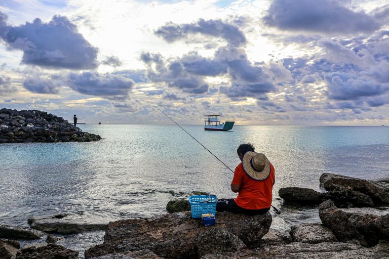
The practical benefits of the network are clearly illustrated in Tuvalu, one of the countries most vulnerable to sea-level rise and inundation. Tuvalu experiences coastal flooding associated with king tides, exceptionally high tides that occur when the Sun, Moon and Earth align, on approximately 50 days per year. As sea levels rise, the number of days affected by high-tide flooding is expected to increase to around 150 per year by 2050.
Operating for more than three decades, the Tuvalu tide gauge station provides an invaluable record of environmental change and robust, locally relevant ocean information to guide adaptation and planning.
These observations support the pioneering High Tide Parametric Insurance Product, showing how sea-level data can enable innovative climate financing and faster support for communities affected by high-tide flooding.
The challenges of sustaining observations
Maintaining the network requires equipment to operate continuously in harsh marine environments, exposed to salt corrosion, high humidity, tropical heat and extreme weather. Cyclones can damage infrastructure, while power interruptions and communications outages can affect data transmission.
Logistical constraints further complicate maintenance activities. Many stations are located far from major technical centres, making access expensive and weather-dependent.
A particular challenge for climate monitoring is preserving data continuity over decades. Instruments inevitably age and need replacement, but every equipment upgrade must be carefully managed to ensure that observations remain scientifically consistent over time.
Despite these challenges, the network has achieved remarkable continuity, made possible through strong partnerships between Pacific Island governments, the Pacific Community (SPC), the Australian Bureau of Meteorology, Geoscience Australia, and other regional and international partners.
These partnerships provide technical expertise, equipment support, quality assurance, capacity development and sustained funding support. They also ensure that observations collected in remote island locations contribute both to local decision-making and to global climate observing systems.
Ultimately, the sustainability of the network depends on local expertise. National Meteorological and Hydrological Services and Lands and Surveys Departments play a critical role in routine inspections, basic maintenance and emergency response.
However, retaining technical capacity can be challenging given staff turnover, competing operational priorities and limited resources. Ongoing training, mentoring and knowledge transfer are therefore essential components of the programme.
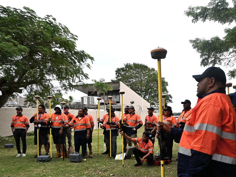
Regional workshops, on-site training and technical exchanges have helped build a network of Pacific technicians and scientists with the skills to maintain ocean and geodetic observing systems.
“The sustainability of the Pacific observing network depends as much on people as it does on technology. Tide gauges and GNSS stations can only deliver long-term climate records when local technicians, surveyors and meteorological staff have the skills, confidence and resources to maintain them", said Vaipo Mataroa, Deputy Secretary of Infrastructure Cook Islands and Chair of the Pacific Geospatial and Surveying Council (PGSC).
Better preparation for the rising seas ahead
As climate risks intensify, decision-makers will increasingly require local, evidence-based information to guide adaptation investments, manage coastal development and reduce future risk. Long observational records enable greater confidence in trend detection, climate attribution and future projections.
Emerging opportunities include stronger integration with satellite observations, improved coastal inundation modelling, and enhanced ocean services tailored to user needs. Advances in data management and communication technologies may also improve accessibility and increase the reach of observational products.
However, these opportunities depend on the continued operation of the observing network. Gaps in long-term observations can weaken the ability to detect trends and inform decision-making.
For Pacific Island countries facing rising seas and increasing coastal exposure, reliable observations are not a luxury, but an essential public good. As the region navigates a changing climate, the continued operation of the PSLGM network will remain central to understanding coastal risks, planning adaptation and safeguarding vulnerable coastal communities for generations to come.
- Region:
- Region V: South-West Pacific