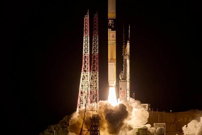
New JAXA's satellite launched, strengthening G3W monitoring efforts

The satellite follows a sun-synchronous orbit at an altitude of 666 km, with a repeat cycle of three days - consistent with previous GOSAT missions. It travels from the south-east to the north-west during daytime, crossing the equator at approximately 1:30 p.m. local time.
GOSAT-GW is equipped with a grating imaging spectrometer, known as TANSO-3, which offers higher spatial resolution compared to GOSAT-1 and GOSAT-2. It features a selectable swath width:
- A wide mode covering 911 km, with a 10 km footprint, enabling global coverage every three days.
- A focus mode covering 90 km, with a footprint of 1–3 km, suitable for analyzing localized emission sources.

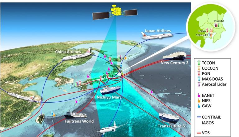
Satellite observations will be assimilated into the NIES data assimilation system, alongside other space- and surface-based observations. Surface networks include Fourier Transform Spectrometers from the Total Carbon Column Observing Network (TCCON) and the Collaborative Carbon Column Observing Network (COCCON), which provide validation data for column-averaged CO₂ (XCO₂) and methane (XCH₄) concentrations.
Airborne measurements also play a key role in validating CO₂ and CH₄ data. Notably, the Comprehensive Observation Network for Trace gases by AirLiner (CONTRAIL) provides long-term, global-scale airborne observations that are especially valuable for satellite data validation.
Further reading
- Tanimoto, H., Matsunaga, T., Someya, Y. et al., The greenhouse gas observation mission with Global Observing SATellite for Greenhouse gases and Water cycle (GOSAT-GW): objectives, conceptual framework and scientific contributions. Prog Earth Planet Sci 12, 8 (2025).


